Log in
All resources
Create a design
9,171 Free Images of Engraved Maps
cc-zero
18th-century engravings
maps made in the 18th century
old maps of europe
war of the spanish succession
atlantis magni tomus primus (biblioteca comunale di trento)
pieter schenk (i)
cities in europe
cc-pd-mark
copper engravings
maps and topographical views by joris hoefnagel
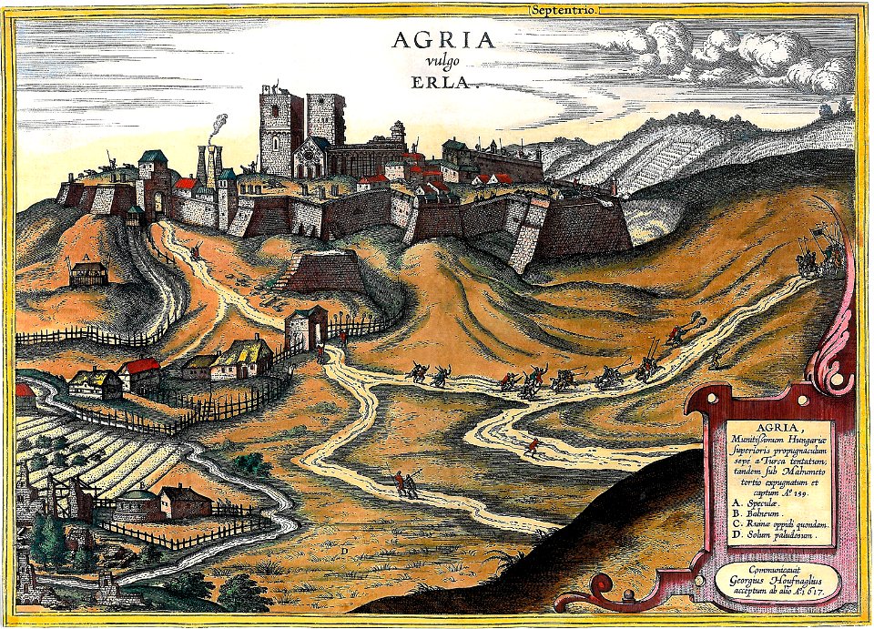
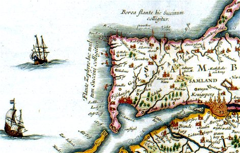
hungary
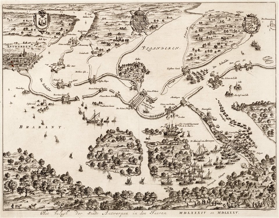
antwerp
hoboken
architecture
city
self-published work
cc-pd-mark
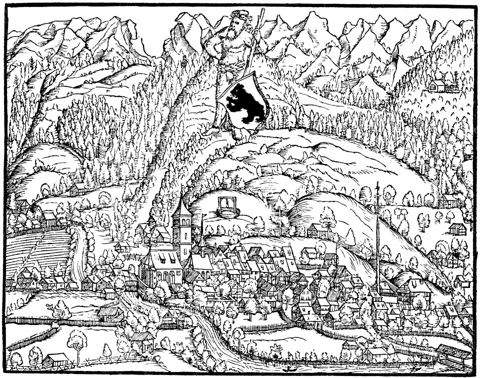
historical images of appenzell
old maps of switzerland
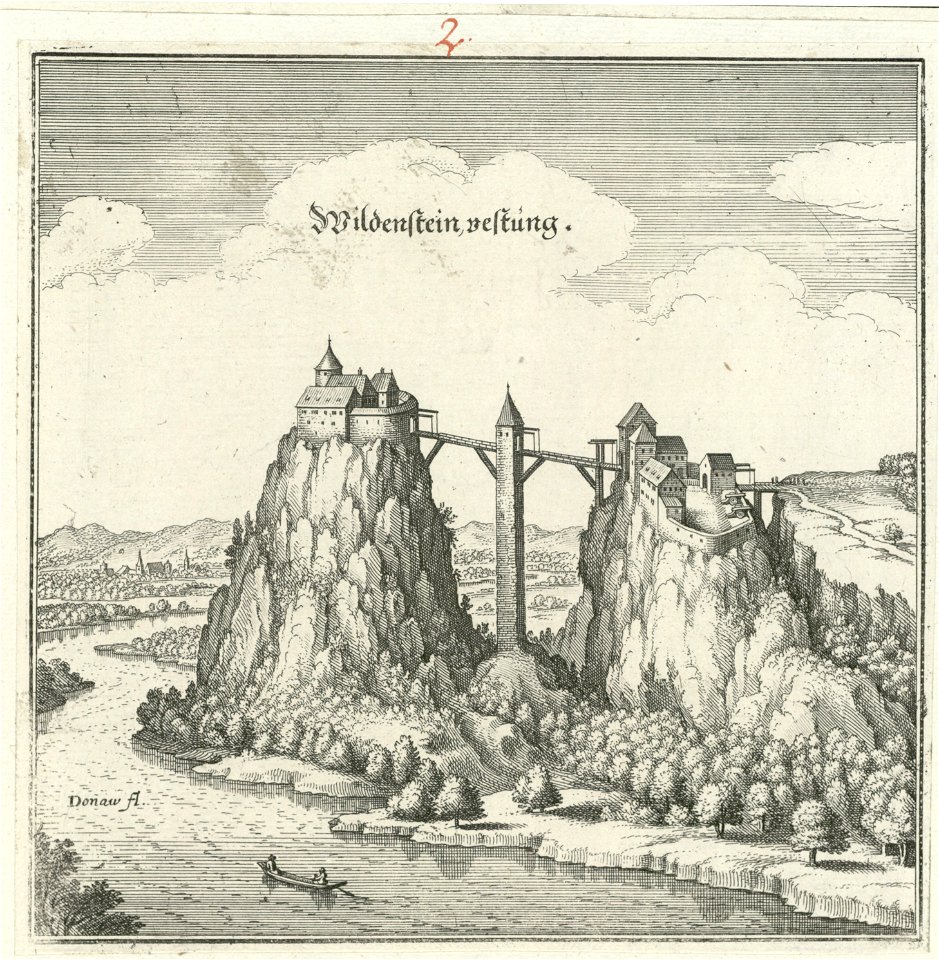
bridge of arts
castles in art
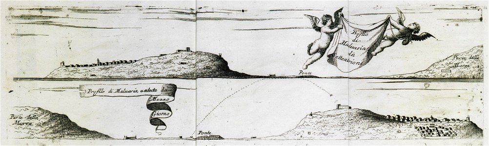
geographical illustrations by coronelli
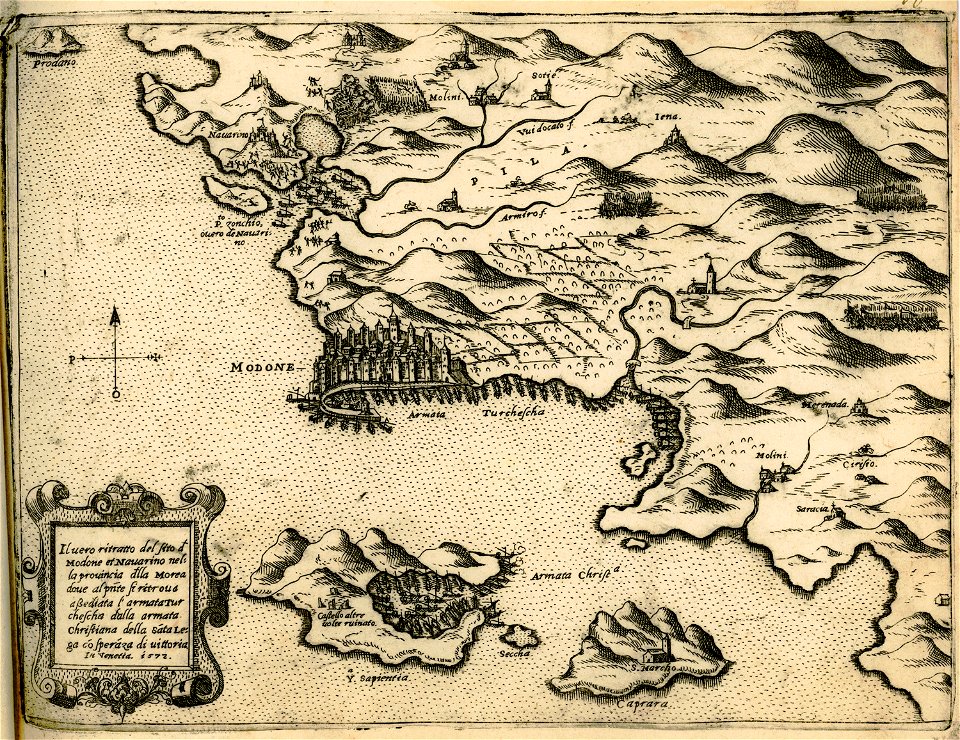
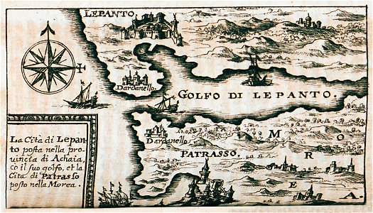
old maps of the peloponnese
maps made in the 18th century
18th-century engravings
maps made in the 18th century
18th-century engravings
maps made in the 18th century
18th-century engravings
travel
city
dutch 17th-century prints in the rijksmuseum amsterdam
maps in the rijksmuseum amsterdam
giovanni camocio
methoni
maps made in the 18th century
18th-century engravings
maps made in the 18th century
18th-century engravings
maps made in the 18th century
18th-century engravings
maps made in the 18th century
18th-century engravings
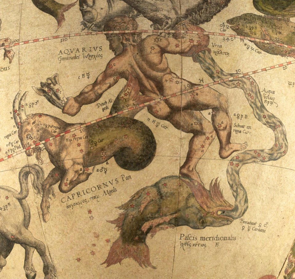
ganymede in renaissance art
maps by gerardus mercator
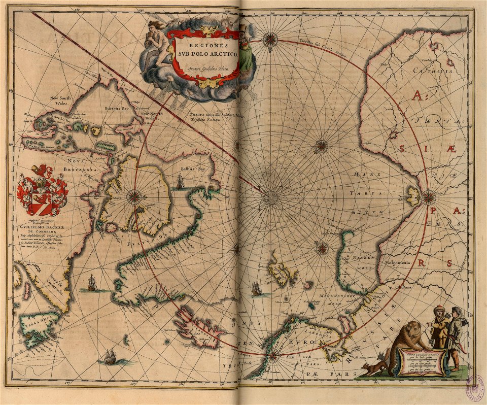
old maps of the arctic
copper engraving
geographical illustrations by coronelli
old maps of the peloponnese
maps and topographical views by joris hoefnagel
eger
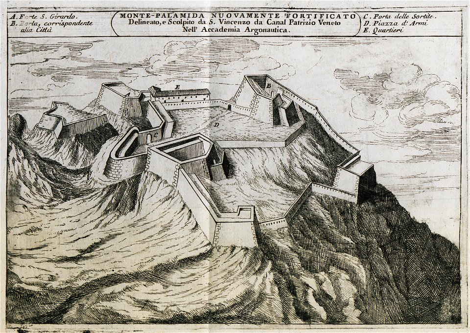
palamidi castle
palamidi
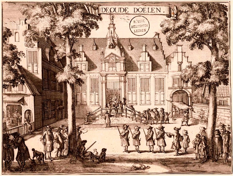
kloveniersschutterij (haarlem)
kloveniersdoelen (haarlem)
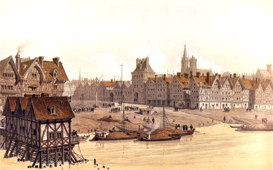
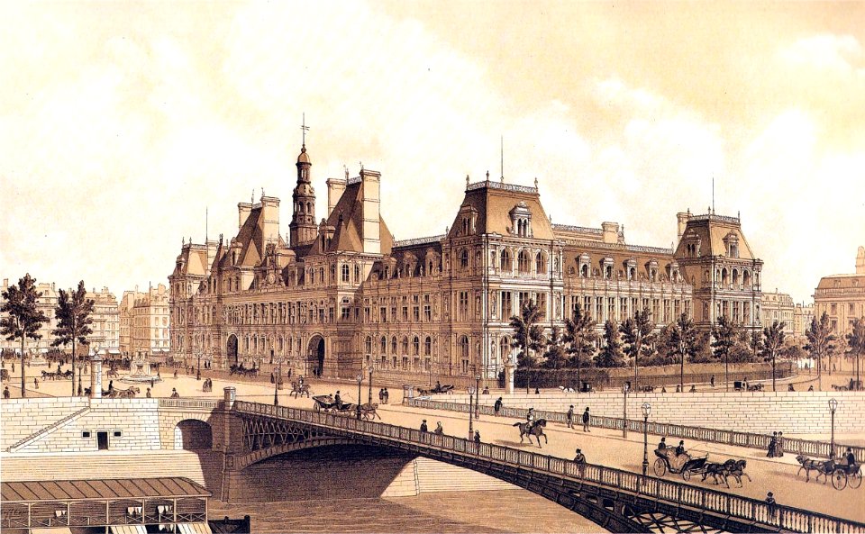
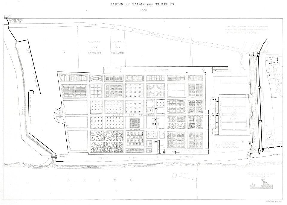
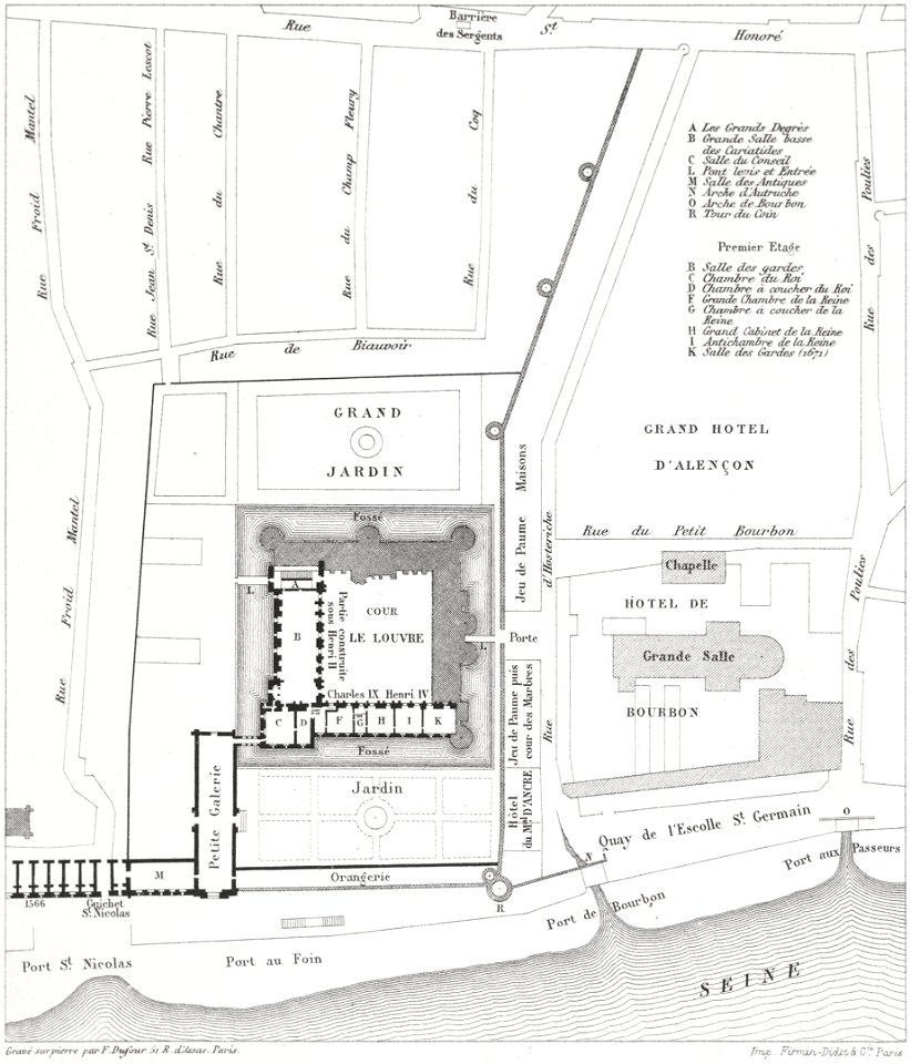
paris in the 16th century
lithographs of paris
maps made in the 18th century
18th-century engravings
maps made in the 18th century
18th-century engravings
atlas van der hagen
copper engraving
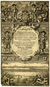
english-language title pages
title pages of maps
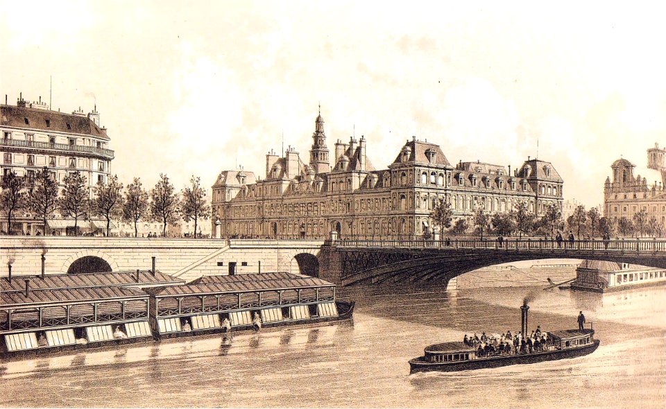
floor plans of paris
engravings of paris
fashion
london
ekeren
lillo
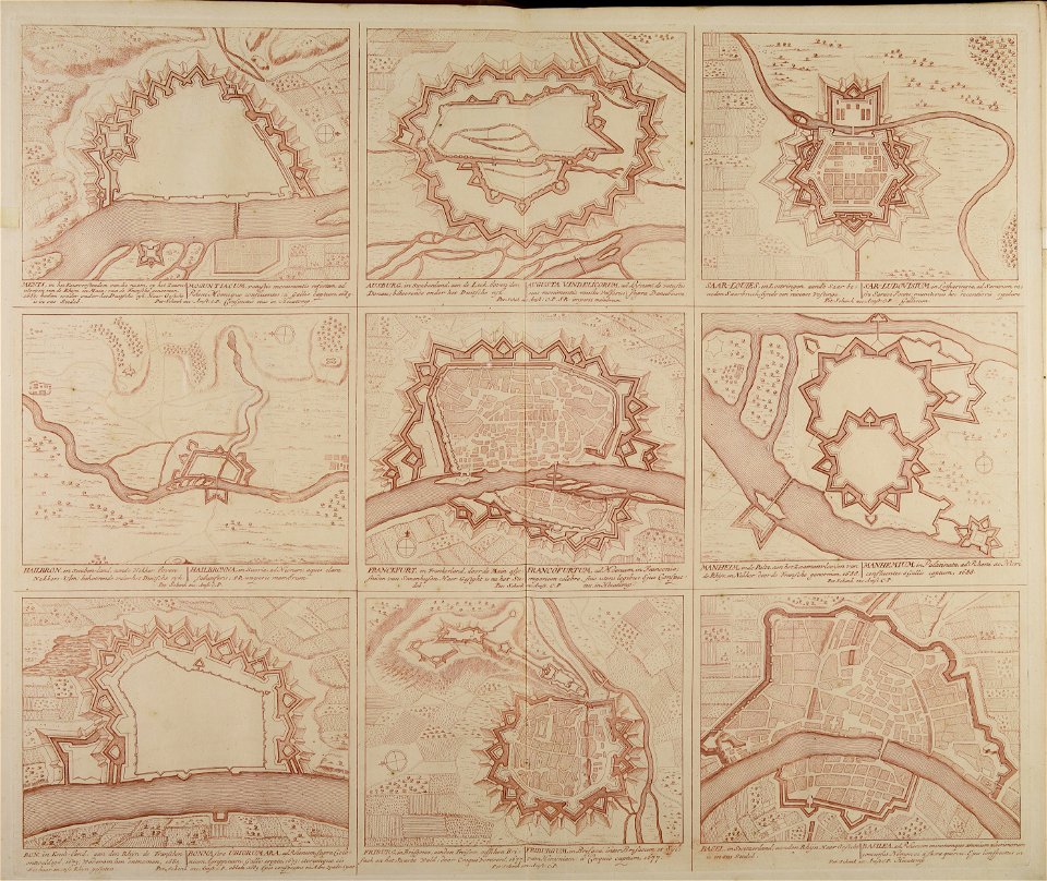
historical images of baden
switzerland
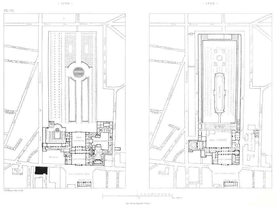
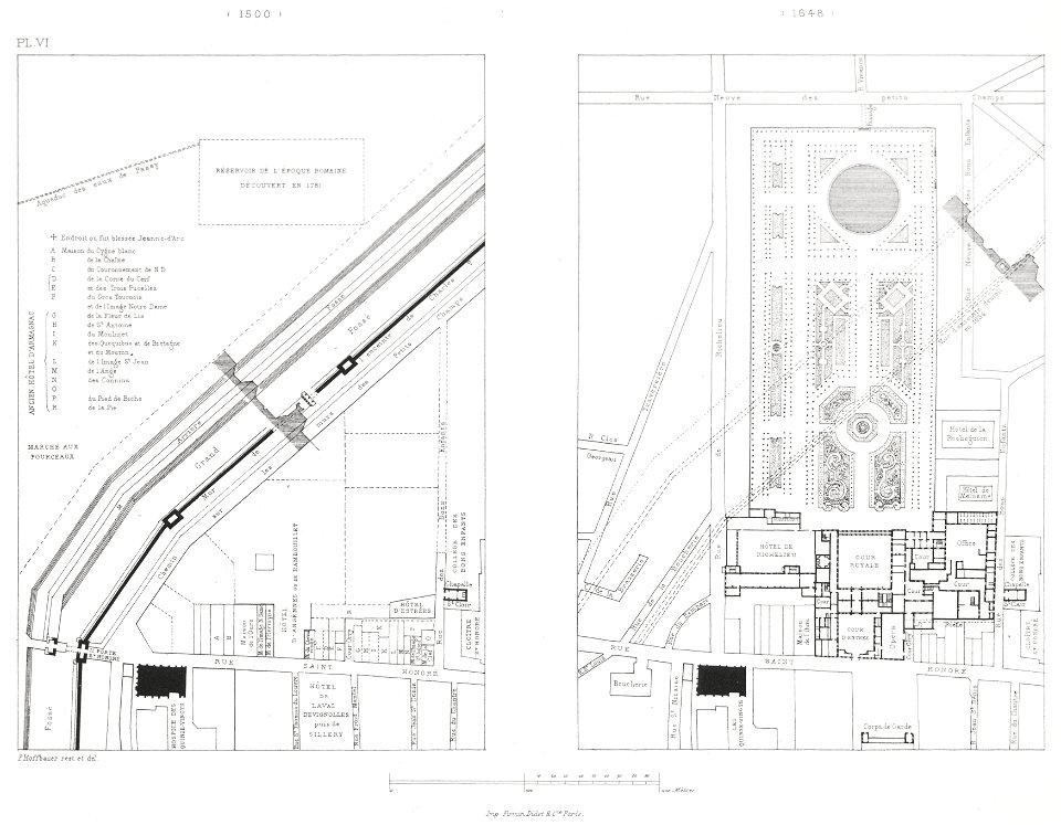
engravings of palais royal by theodor hoffbauer
lithographs of paris
color engravings
cornucopia
ornament
rich
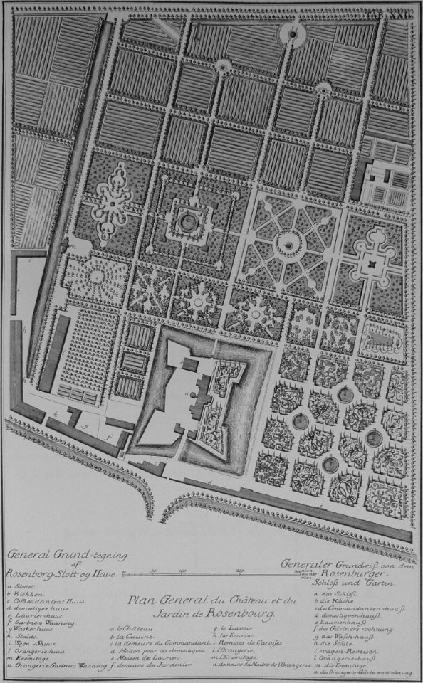
rosenborg castle
kongens have
vintage
head
self-published work
pages with maps
17th-century engravings
finistère in art
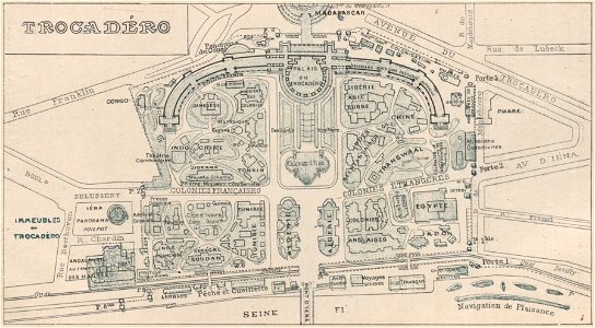
palais du trocadéro
engravings of paris
maps from the mechanical curator collection
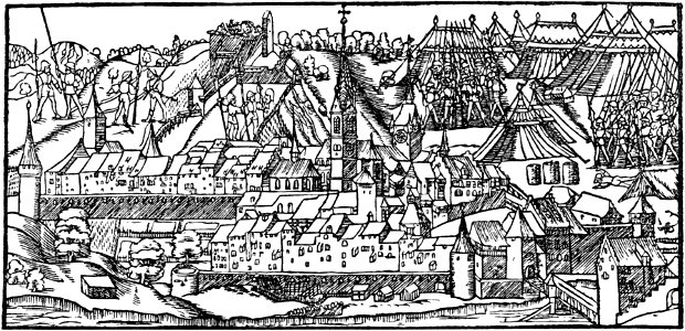
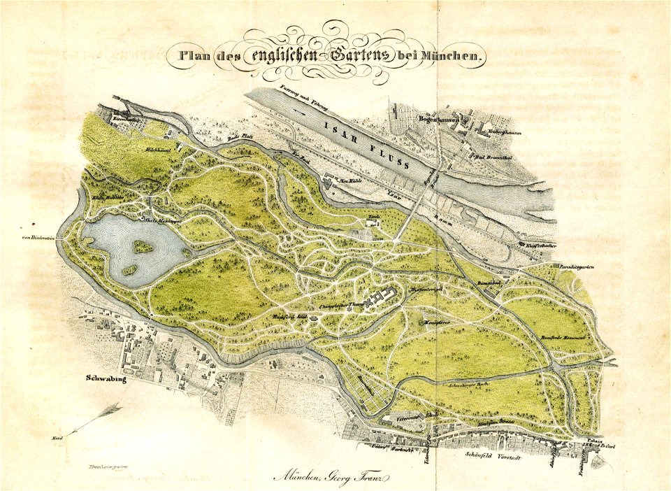
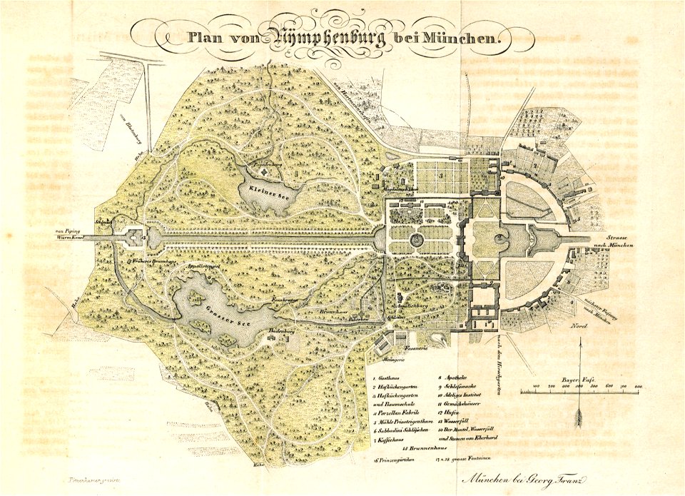
munich in the 19th century
paris in the 16th century
lithographs of paris
claes jansz. visscher (ii)
17th-century engravings
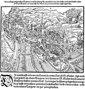
historical images of st. gallen
heinrich vogtherr (i)
maps from the mechanical curator collection
munich in the 19th century
maps of the west-indische compagnie
1644 engravings
nicolas iii de larmessin
gerardus mercator
self-published work
cc-pd-mark
atlas van der hagen
copper engraving
book collection of the chester beatty library
l'isole più famose del mondo
kurtze beschreibung von republick venedig
17th-century engravings of towns
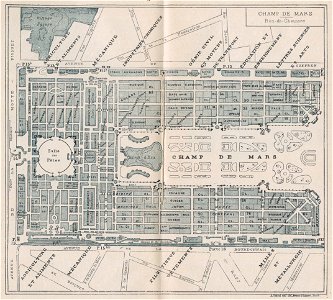
exposition universelle (1900) champ-de-mars
engravings of paris
old maps of paris 1er arrondissement
lithographs of paris
artworks with known accession number
artworks without wikidata item
elbe in brandýs nad labem-stará boleslav
castle in brandýs nad labem
self-published work
cc-pd-mark
historical images of st. gallen
st gallen
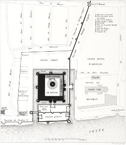
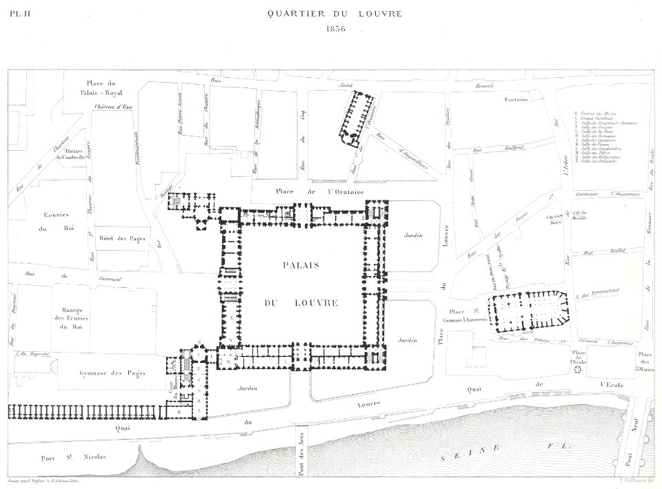
place du louvre (paris)
lithographs of paris
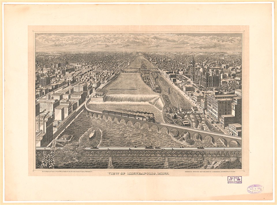
19th-century lithographs in the united states
mississippi river at minneapolis
artworks without wikidata item
trading card
maps from the earth and its inhabitants, vol. vi
charles eugène perron
self-published work
cc-pd-mark
history of antwerp
renaissance
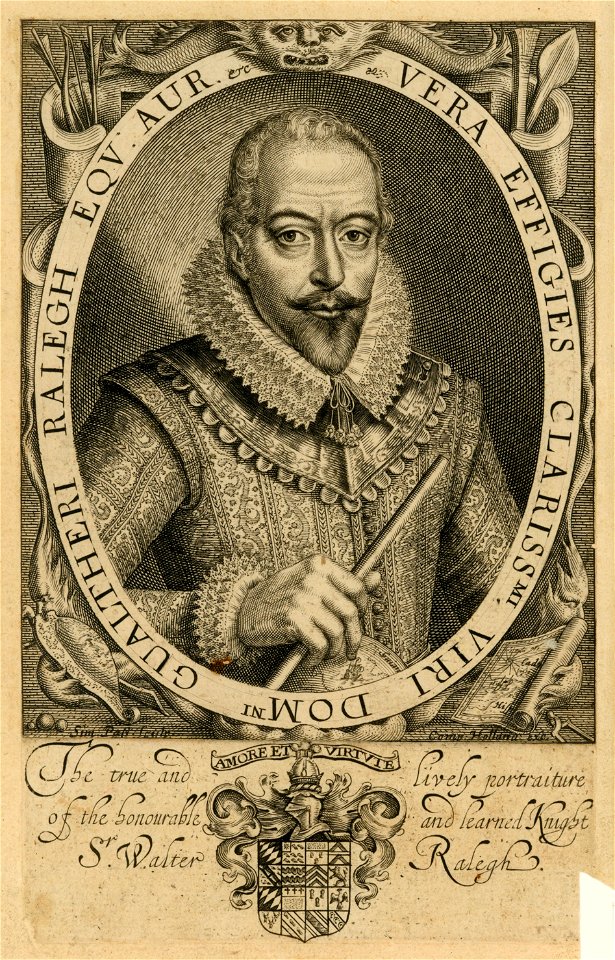
ruffs in art (male)
sir walter raleigh
paris in the 16th century
lithographs of paris
bird's-eye views of paris
engravings of paris
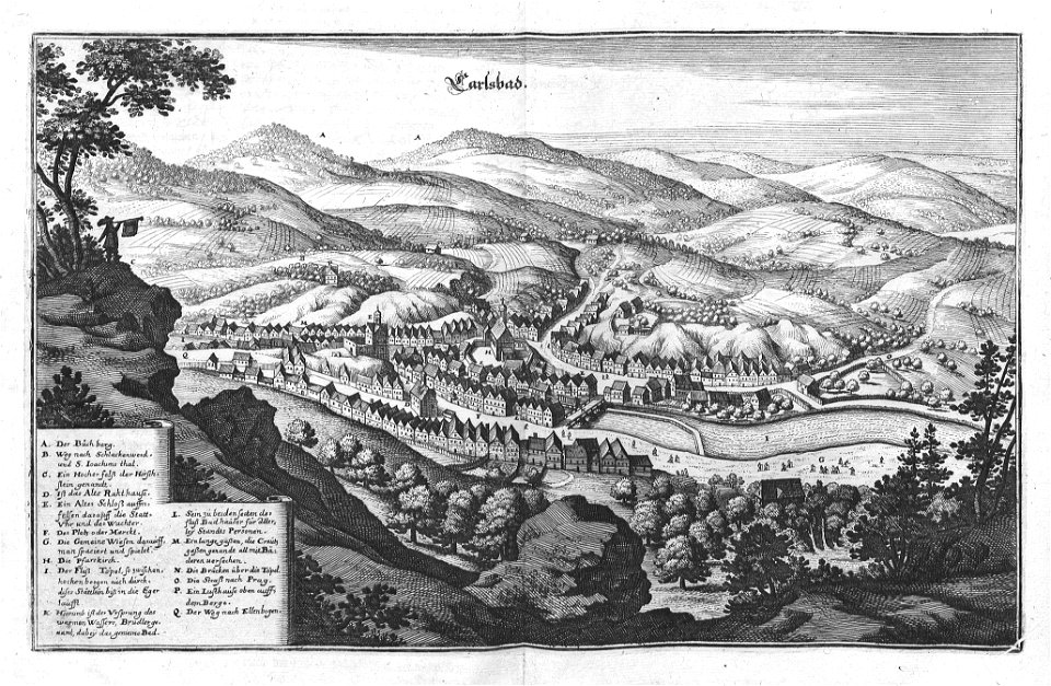
zámecká věž (karlovy vary)
views of karlovy vary
bird's-eye views of paris
engravings of paris
itinerario (jan huygen van linschoten)
latin-language maps
itinerario (jan huygen van linschoten)
latin-language maps
self-published work
cc-pd-mark
background
ornament
maps by willem and johannes blaeu
atlas van loon
imperial
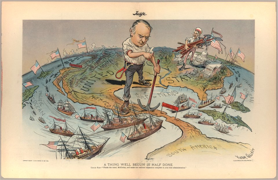
judge
maps by willem and johannes blaeu
atlas van loon
background
ornament
17th-century maps of the netherlands
1609
17th-century maps of the netherlands
1609
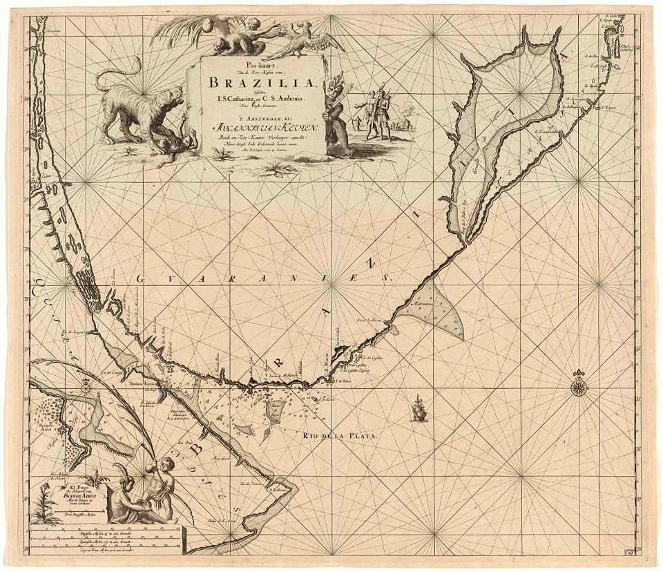
maps of the west-indische compagnie
1800 maps of the united states
17th-century maps of sri lanka
jaffna kingdom
maps indicating exploration
pamir mountains
maps indicating exploration
pamir mountains
maps from the earth and its inhabitants, vol. vii
maps indicating exploration
maps from the earth and its inhabitants, vol. vii
maps indicating exploration
maps of the west-indische compagnie
1800 maps of the united states
17th-century maps of sri lanka
jaffna kingdom
heraklion venetian walls
1651 in candia
heraklion venetian walls
1651 in candia
maps in the library of congress
adriaen van der donck
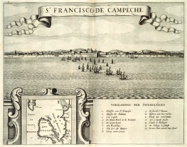
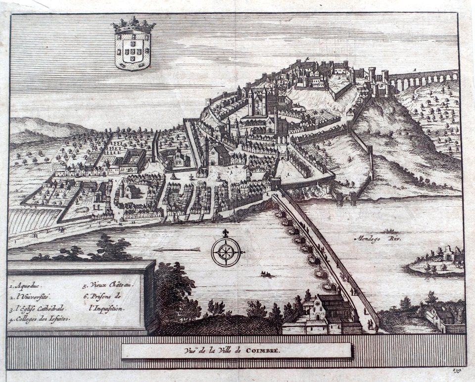
maps of coimbra by braun & hogenberg
1598 engravings
maps of coimbra by braun & hogenberg
1598 engravings
old maps of the united states
old maps of virginia
old maps of the united states
old maps of virginia
19th-century maps of china
richard jarman
19th-century maps of china
richard jarman
nathaniel whittock
skylines of london
maps from the earth and its inhabitants, vol. vii
maps indicating exploration
nathaniel whittock
skylines of london
robert wallis (engraver)
henry warren
atlas maior, vol 11 (asia) - joan blaeu, 1667 - bl 114.h(star).11
1667 maps
301 - 400 of 9,171
Next page
/ 92